
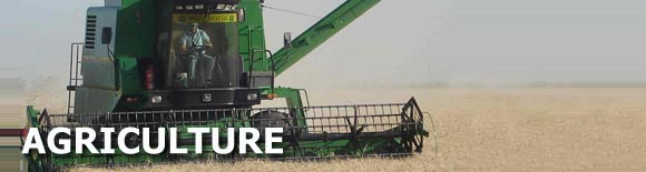
It makes information systems for the support of all the agricultural productivity chain like systems for land cultivation, hydrographic capacity, risk areas, etc. With the use of satellite images, it carries out environmental evaluations of many sensitive areas or it evaluates the specific production of an area, including:
- Agricultural Systems of precision
- Edaphic researches
- Agricultural characterization
- Monitoring of cultivations and risks
- Development of GIS
- Environmental researches

- Government
- Mining
- Infraestructure
- Communications
- Banking and business
- Agriculture
- Energy
- Hydrocarbons